vLoc3-RTK-Pro
Combining Precision Locating with Survey-Grade Mapping Accuracy
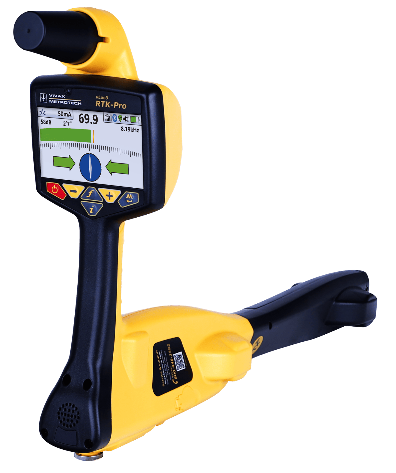
The vLoc3-RTK-Pro by Vivax-Metrotech is an advanced utility locator that integrates RTK GNSS technology to deliver survey-grade accuracy in underground utility detection. Equipped with an internal 4G LTE cellular module, it connects seamlessly to NTRIP RTK casters, providing RTCM 3 corrections for centimeter-level precision in utility mapping. This capability ensures that professionals can accurately capture both the location and depth of buried utilities, enhancing the reliability of infrastructure projects across the southwestern United States.
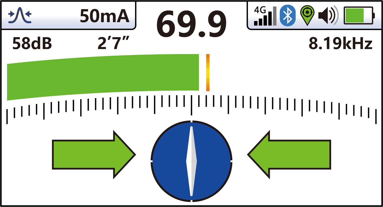
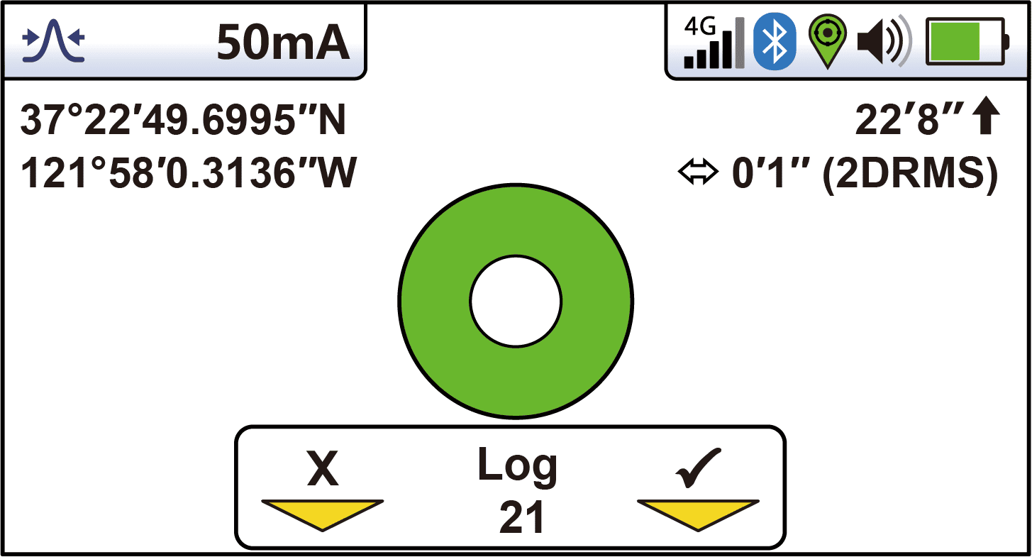
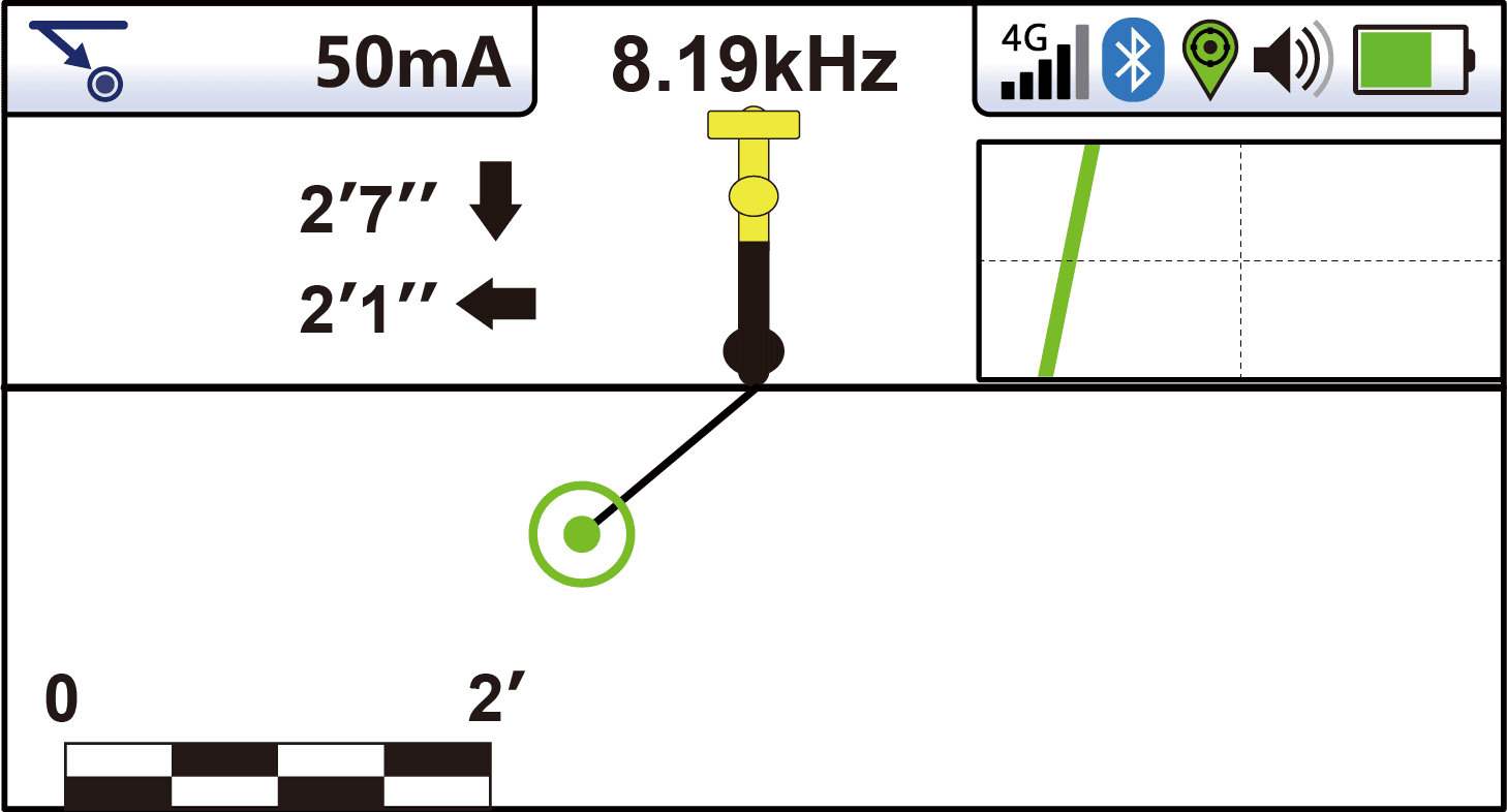
Designed with user-friendly features, the vLoc3-RTK-Pro offers intuitive locate screens suitable for operators of all experience levels. With a simple button press and alignment of the electronic spirit level, users can confirm and store utility data efficiently. All collected field data is transmitted to the cloud and stored onboard, facilitating seamless integration with external mapping programs commonly used in utility management and urban planning throughout Arizona, California, New Mexico, Nevada, and Texas.
A key component of this integration is the VMMap Cloud by Vivax-Metrotech, a cloud-based utility mapping solution that works in tandem with the vLoc3-RTK-Pro. The VMMap App records data from the field, which is instantly available online via the VMMap Cloud web portal. This system captures comprehensive locate information, including depth readings, GPS coordinates, and the distance between locates, ensuring accurate and efficient data management.
Professionals in these states seeking advanced utility locating solutions can rely on TecSolutions Consultants, a trusted provider of underground utility equipment in the southwestern United States. TecSolutions offers the vLoc3-RTK-Pro, ensuring that local utility detection needs are met with cutting-edge technology and dedicated support.
Cloud Upload and Reporting
Immediate As-Built Reports
Using the VMMAP Cloud from Vivax-Metrotech, immediate as-builts with custom fields are available immediately.*
Export to Multiple Formats
Exports to CSV, XLS, KML, SHP, DXF, or TXT available via VMMAP Cloud.
GPS Walk-Back
Assign GPS walk-backs to any serial number registered to your cloud portal. Walk-Backs can be a single point or entire surveys.
Collecting GPS Points in the Field
GPS Walk Back
It is possible to add GPS points directly from the VMMAP cloud (single points or whole surveys)
It is possible to manually add GPS points from the receiver out in the field
Accuracy to walk back points will depend on the accuracy of GPS collected initially, and the accuracy from corrections at the time of GPS walk-back
*Cellular or WiFi connection required for remote data log upload to the cloud.
